


Training Details
EDP 02
Training Description
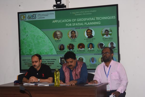
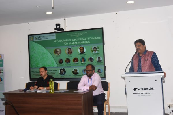
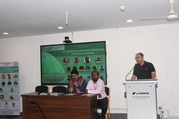
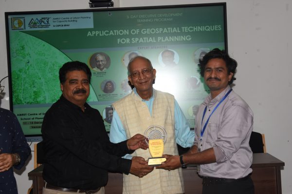
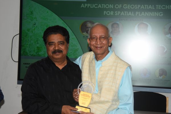
Application of Geospatial Techniques for Spatial Planning
(EDP_25_02)


The need for a training program on “Application of Geospatial Techniques for Spatial Planning” arises from the increasing complexity of urban and regional development challenges in the modern world. Geographic Information Systems (GIS) have become essential tools in planning, as they enable the integration of spatial data to make informed, data-driven decisions. In a rapidly urbanizing world, effective spatial planning is crucial for managing resources, infrastructure, and services efficiently while ensuring sustainable development.
GIS empowers planners to visualize, analyse, and interpret spatial data, aiding in tasks such as land-use planning, transportation network design, environmental management, formulation of master plans and disaster response. By learning how to utilize GIS tools and techniques, planning professionals can enhance their ability to assess patterns, forecast needs, and optimize resource allocation, ultimately improving the quality of life for residents in urban and rural areas.
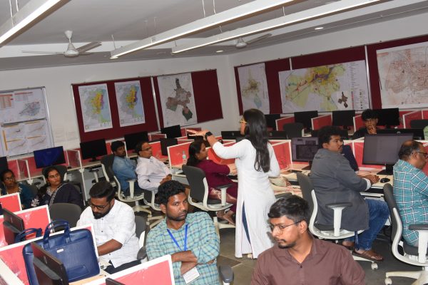
Additionally, government initiatives often incorporate GIS for public policy-making, land management, and disaster mitigation. Governments are increasingly adopting GIS as a part of their digital transformation strategies, using it to streamline processes, improve transparency, and foster data-sharing among different departments. With GIS at the forefront, planners can align their work with national and regional development goals, ensuring consistency with government policies and initiatives. Hands-on exercises will allow participants to become proficient in using GIS software, interpreting spatial data, and solving real planning challenges.
As the adoption of GIS grows, there is a pressing need to equip planning professionals with the necessary skills and knowledge to use these technologies effectively. This training program will bridge the gap between traditional planning practices and modern GIS-based methods. It will empower participants to leverage the full potential of GIS, enhancing their ability to contribute to informed decision-making, efficient resource management, and sustainable urban and regional development.
Target Groups

Govt Officials

Supervision

Planners & Consultants

Researchers in Planning
A-CUPCB-SPAV
Training Benefits
Following this course, the participants will be able to
- 1. Enhanced Technical Competence
- Develop proficiency in GIS, Remote Sensing, and Spatial Data Analysis for urban, regional, and environmental planning.
- Gain hands-on experience using industry-standard software (ArcGIS, QGIS, ERDAS, etc.) for map creation, spatial modelling, and geospatial visualization.
- 2. Improved Planning and Decision-Making Skills
- Learn to integrate spatial datasets into planning processes to support evidence-based policymaking.
- Apply geospatial analytics for land use management, infrastructure planning, and sustainable urban development.
- 3. Exposure to Cutting-Edge Tools and Techniques
- Understand advancements in geospatial technologies, including AI, UAV/drone mapping, web GIS, and spatial databases.
- Learn methods for data-driven monitoring of urban growth, transportation networks, and environmental changes.
- 4. Policy and Governance Relevance
- Equip government officials and practitioners to integrate GIS-based solutions in governance, smart city missions, and sustainable development programs.
- Foster spatial thinking for better resource allocation, urban resilience, and participatory planning.